
I found this walk split into three distinct parts with different landscapes throughout these. Starting by the water and heading through the broads, then along the ‘Muddle and Get Nowhere’ discussed railway line before heading through the landscape of old estates and villages.
Colin Elliott’s book Long Distance Trails introduces this walk as follows: ‘Though the starting and finishing point are both on the sea this is not a coastal walk. Instead the path meanders through the more interesting and attractive hinterland. Once it was an area where weaving flourished as a cottage industry, but it lost out to big mills elsewhere after the invention of the power loom, for which walkers can be thankful because what remains is a string of unspoilt villages. The Weavers’ Way also passes through the heart of Broadland, taking in scenes of Arthur Ransome’s two Broads-based adventures, Coot Club and Big Six.’
Having done the section of the Norfolk Coastal Path from Cromer to Great Yarmouth previously I would agree and this route would make for a nicer final section to the walk to Great Yarmouth.
With good train connections to Great Yarmouth and Cromer via Norwich, I planned my trip for a long weekend starting with a night in Norwich as this was the closest I could get to the start after a whole day at work. In the morning after breakfast I headed on a delayed train to Great Yarmouth and the start of the trail was just behind the train station.
I was lucky with the weather as it was mainly dry. My experience of the east of England is it is generally much drier than other parts of the UK.
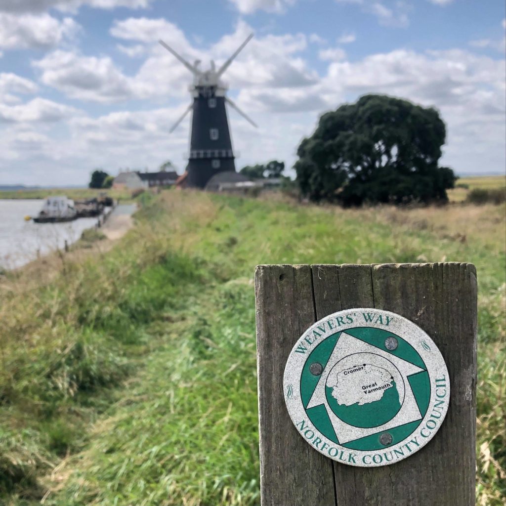
I found the route was well marked with signs although a few times I was grateful for my maps to find the route. I had taken 1:25k maps and I could have got away with 1:50k maps although either way you will need two maps to cover the whole route unless you go for a custom map.
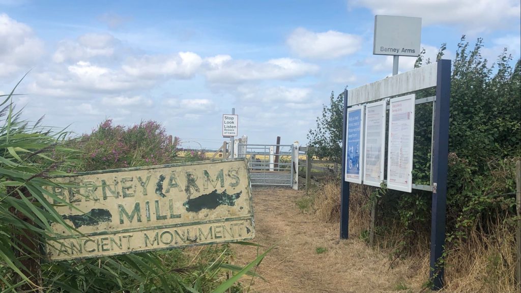
Setting off on the trail following the signs for the Weavers’ Way I headed along the high water mark Brendan Water past a seasonal pub (which looked permanently closed) and Berney Arms Drainage Mill (the tallest windmill in Norfolk) and the first place mentioned in Coots Club that I visited. Next the route headed inland across farmed fields which are managed to provide habitat for wildlife and through one of the least used railway stations in the UK.
I had not taken a stove with me to help keep my rucksack weight down for running. I planned on eating in cafes and pubs along the way. For the first section of the route I found it sparse on shops, cafes and pubs so I was glad of a good breakfast and my bag of snacks to keep me going. At Acle, rather than a detour into the town where there is a co-op supermarket I decided to push on for food at Acle Bridge which has a pub with lots of outdoor seating.
From here onwards the options for eating improved, including a really nice pub at Thurne, a cafe at Potter Heigham Bridge and then a steady supply of villages and towns on the remainder of the route. The only other place I struggled was at North Walsham where everywhere was either full or closed as it was Sunday lunch time and I made a worthwhile detour into Aylsham for the co-op supermarket and a visit to a pub.
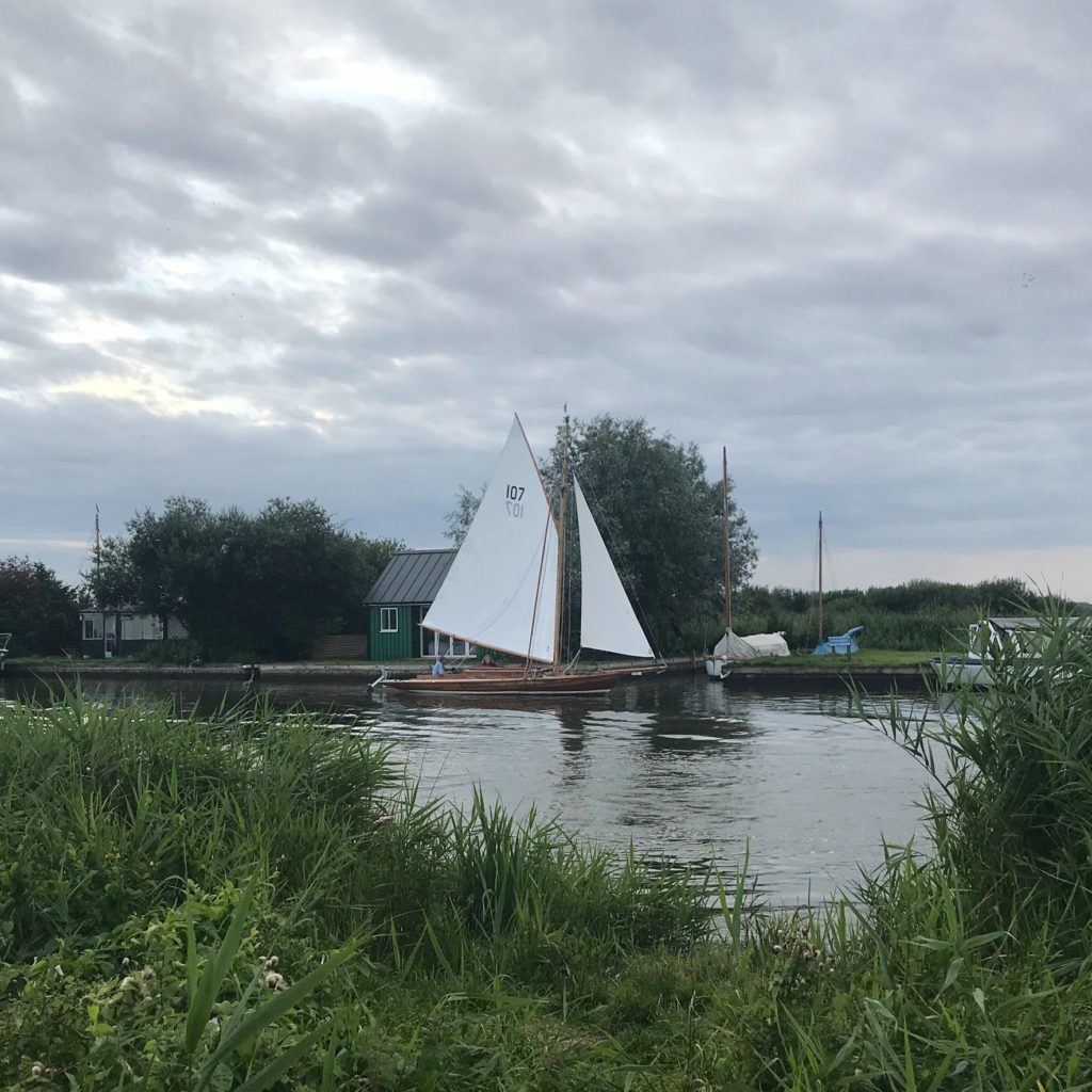
The trail from Acle to Potter Heigham Bridge following the river gave a chance to watch life on the river going past with a good selection of different boats and plenty of old windmills.


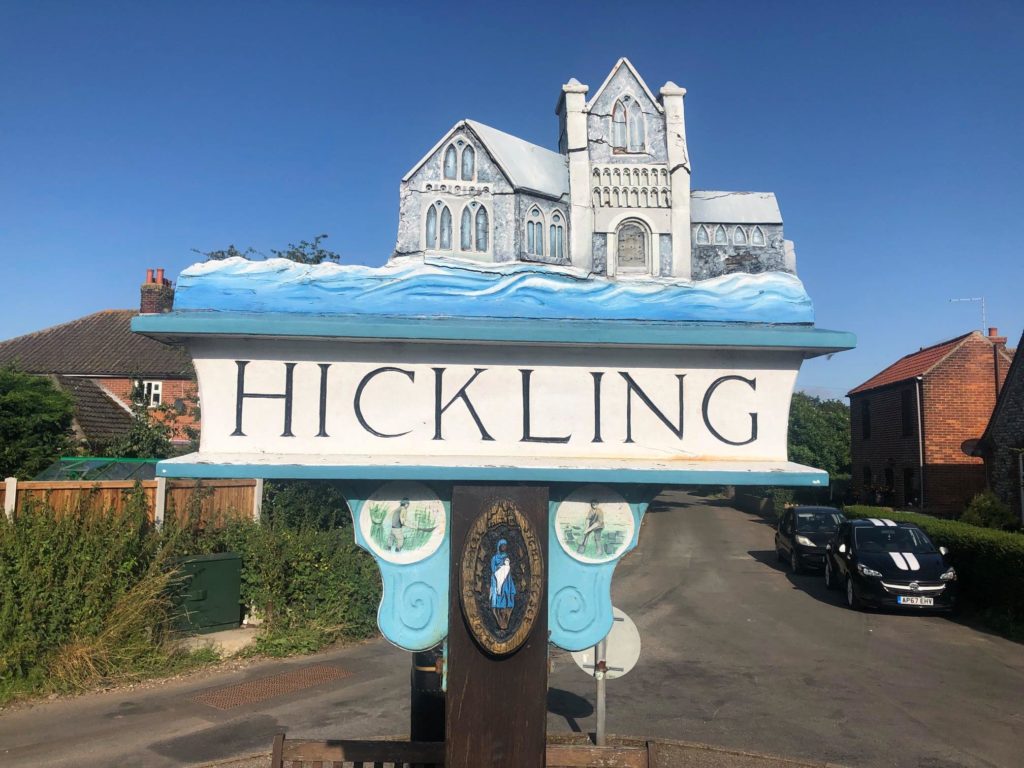
At Potter Heigham there are rows of riverside boat moorings with bungalows set on the banks of the river Thurne which must make for lovely holiday cottages not far from the water nature reserve at Hickling Broad which was my next destination. The best views of the broad are from the other side of the nature reserve although there is a hide at Rush Hill and a few nice views across the water from the Weavers Way.
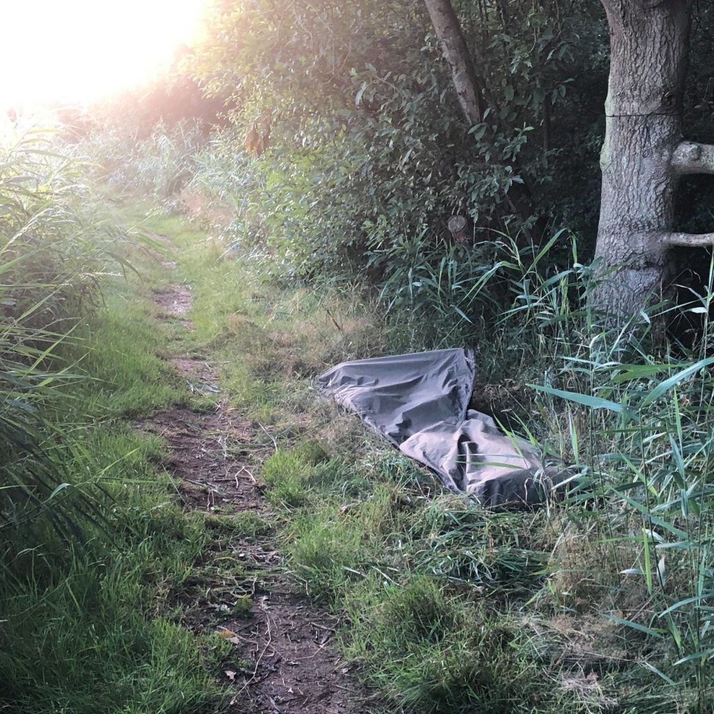
For accommodation along the route there is nothing before Acle where there is a Travelodge and pub with rooms. After that there is sporadic B&B’s, Hotels and pubs to stay in along with a number of places to camp including: Willowcroft Campsite, Hickling Camping with a mixture of options from grass pitches to camping pods and Mill Farm Camping. By the time I decided to go away for the weekend all the accommodation was booked up as anywhere near the coast or broads gets busy in the summer months, so with a good weather forecast I decided to take my bivvy bag and just find a spot to sleep by the trail with the approach of arriving late and leaving early.
So after a nice night listening to the wildlife and water close to Hickling I packed up in the morning and headed off to make use of one of the many public toilets open to the public in the broads in the summer months.
The theme for the second day was the ‘Muddle and Get Nowhere Railway’ (Midland and Great Northern Joint Railway) which is a fairly self-evident title for a route that served a mostly rural region, but after closure this phrase was commonly replaced with “Missed and Greatly Needed”. Reminder that we have long had an issue with lack of public transport in rural areas.
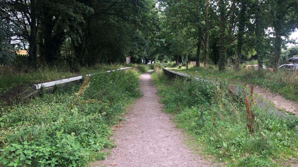
Before starting down the now disused railway line I had breakfast in a cafe at Stalham which had a street market on when I visited. As far as disused railway lines go it was rather pleasant with some nice scenery and lots of lovely wild flowers. There was the odd break from the railway line at places that they had build along the route, most noticeably the A149 which in a number of places follows the route.
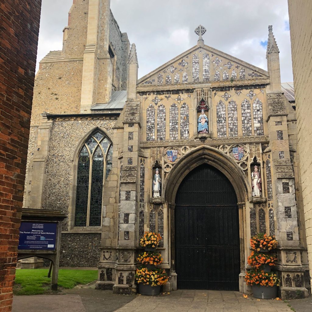
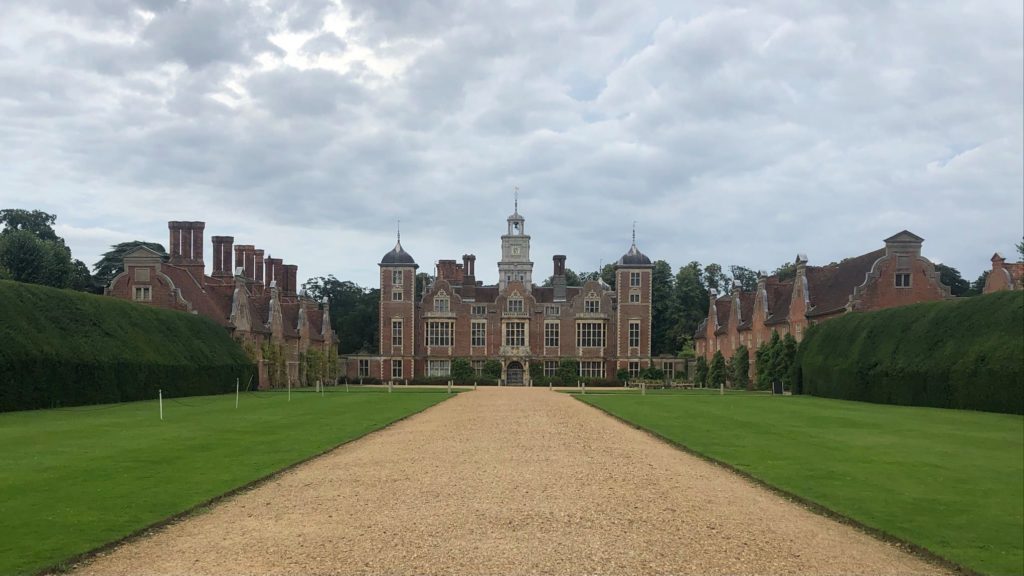
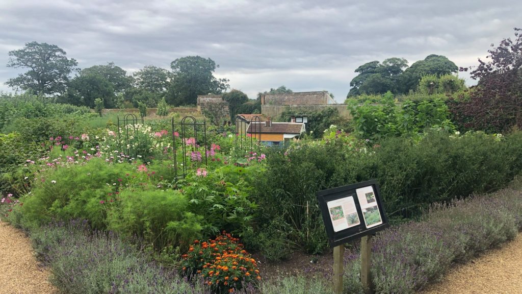
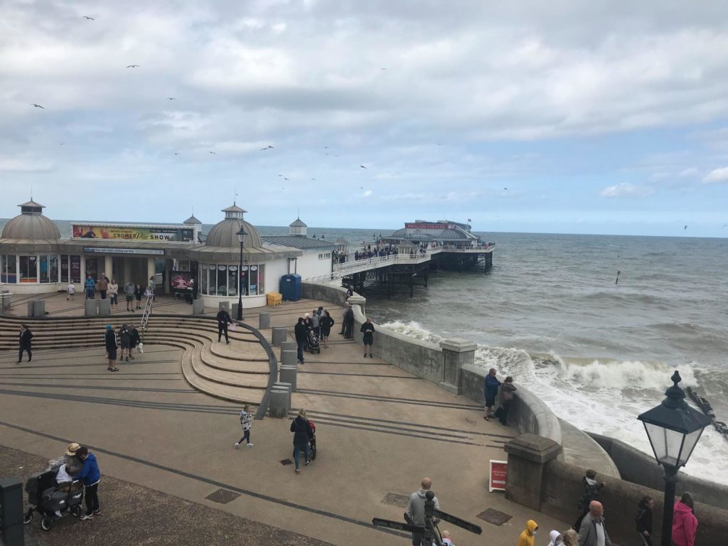
After restocking on snacks and food at Aylsham I headed into the last section after another night bivvying near to Blickling Hall which is the grand Norfolk residence of Anne Boleyn. This last section had a different feel again and I was glad to leave the disused railway line behind and head through beautiful villages and past old estates on the last leg to the coast. I stopped for lunch at Felbrigg Hall in the National Trust cafe and had a look around the lovely walled garden there before a last push to the coast and finishing the route on the pier at Cromer where the route intersects the Norfolk Coastal Path.
To conclude, it was a really enjoyable route, the trail was well signed, generally easy going on good paths and mainly flat. The biggest challenge is likely to be finding places to stay as the accommodation gets booked up although most of these visitors are on the water so the footpaths were mainly fairly quiet.