With some big walking trips on the horizon, we were keen to get a long hike under our belts. Something to get the legs moving and the feet re-acquainted with distance. I’d had a linear walk in mind for a while and there’s something especially satisfying about linking landscapes with public transport, letting the route unfold from one village to another. So, despite a bit of a scramble in the early morning, we caught the train to Edale, where our journey would begin.
It was just after 7am when we set off from the quiet station, heading up towards Mam Tor. The skies were thick with cloud, swallowing the tops of Kinder Scout and keeping any sunrise well hidden. Still, there was beauty in the subdued light. At one point a single sunbeam pierced the cloud like a stage spotlight, roaming across distant fields and valleys. We were grateful for layers, hats, and gloves; the wind had a sharp bite.
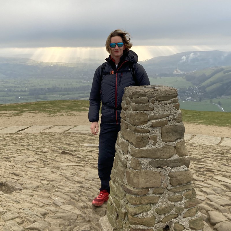
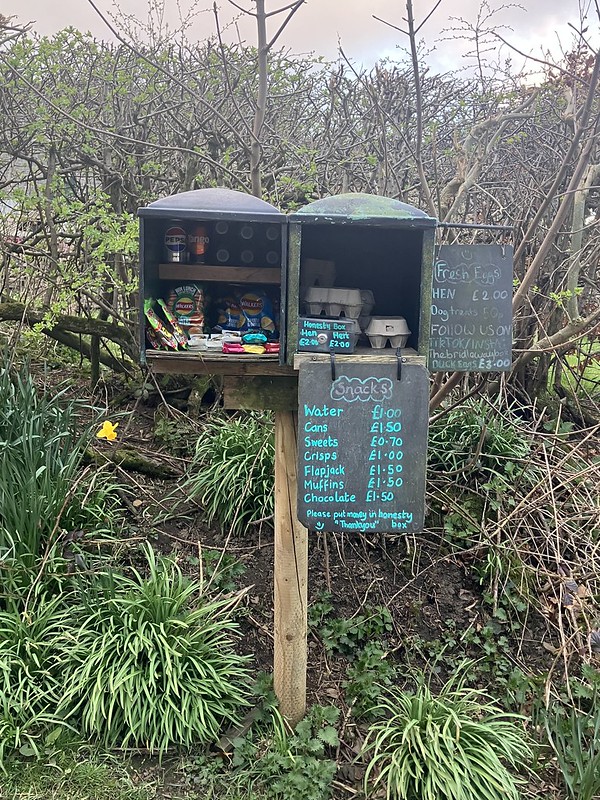
On the way up, we passed an honesty snack cupboard. A small gesture of trust that still feels heartwarming in today’s world. Then came Mam Tor, the “Shivering Mountain,” its landslip-scarred face and site of Iron Age ramparts greeting us in the grey morning. Knowing that this was one of the most popular mountains in the country and later on would be heaving with people, although for now we had the view almost to ourselves. From here, we picked up the Great Ridge and began our eastward traverse.
The view down to the old road out of Castleton was a surprise. Not for its decay, which we expected, but for the sheer number of camper vans parked along it. It’s now more of an impromptu campsite than a road.
The ridge itself was starting to get busier although the biggest disappointment was the state of the trail; littered with discarded toilet paper, a sad reminder of how even beautiful places aren’t immune to poor behaviour.
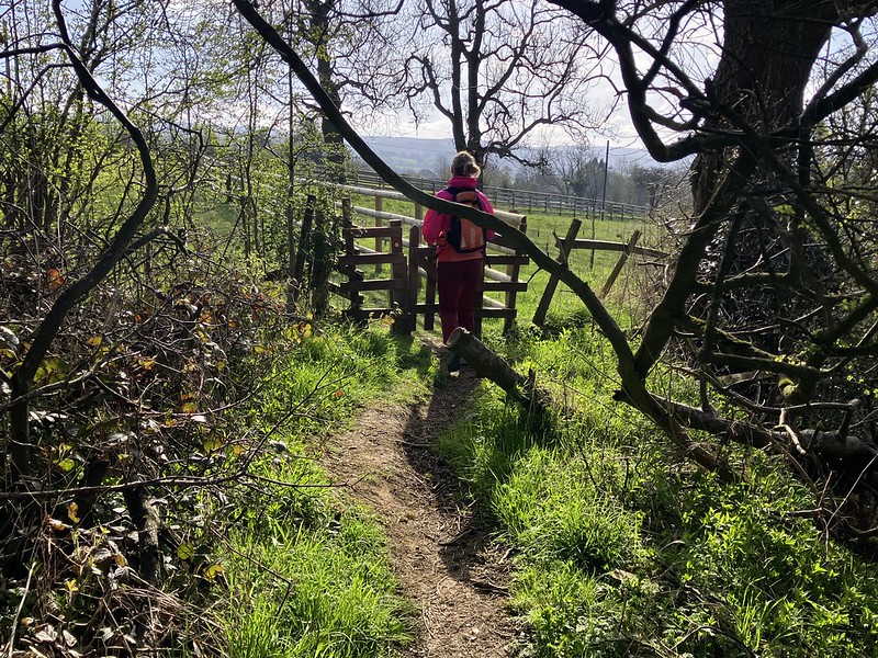
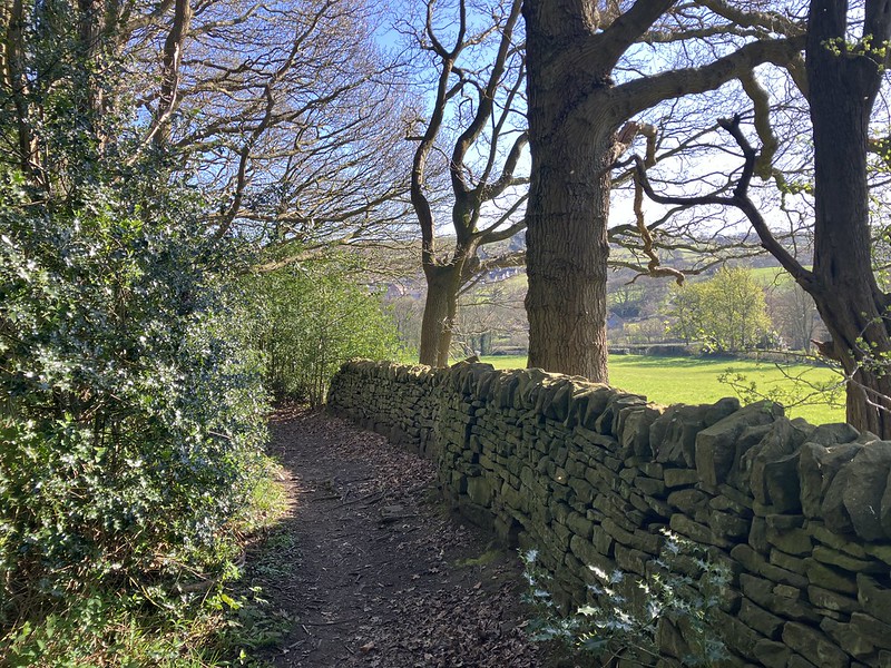
At Hope, we crossed the road towards Aston and picked up a lesser-known trail that meandered past a charming wildlife area run by Hope Primary School. This marked a shift: from the busy, iconic routes to quiet, characterful paths threading through villages and past old manors and historic farm halls. DofE groups ambled cheerfully along as we past them, a reminder of the next generation’s adventures.
As we moved on, we started to notice signs for long-distance trails: the Steel Cotton Railway Trail, the Peak Wesley Way, and the Derwent Valley Heritage Trail. Some already on my wish list alongside the Cuckoo Way. These signs brought a sense of connection to other journeys, other walkers.
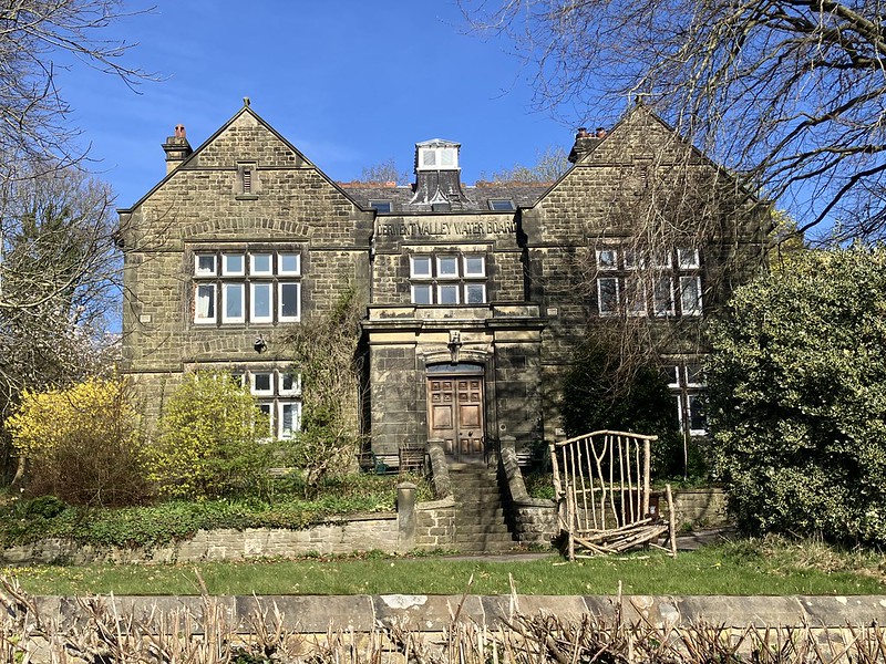
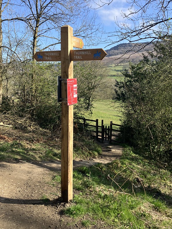
Shortly after, we joined the Thornhill Trail, a traffic-free link between Ladybower and Bamford, before spotting a building that would later spark curiosity. The old Derwent Valley Water Board offices, now known for hosting the Bamford Quaker Community until its closure in 2023. The site’s layered history, from overseeing dam construction to being a shared-living Quaker initiative and with its next chapter unknown if feels like a story still unfolding.
Fuelled by food from the Wild Kettle Café at High Peak Garden Centre, we followed the River Derwent south toward Grindleford. The wind softened here, and the air grew warmer and gentler. Wildlife abounded with two male goosanders paddled silently by.
Leaving the river, we crossed the railway and passed the iconic Grindleford Station Café before striking east, over Big Moor. This was a quieter, wilder stretch. Here we paused to explore Lady’s Cross; a finely dressed medieval wayside cross marking a crossroads and possibly a Beauchief Abbey boundary.
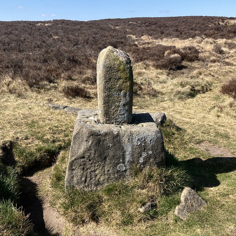
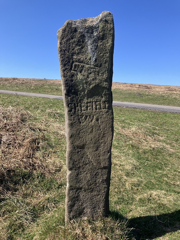
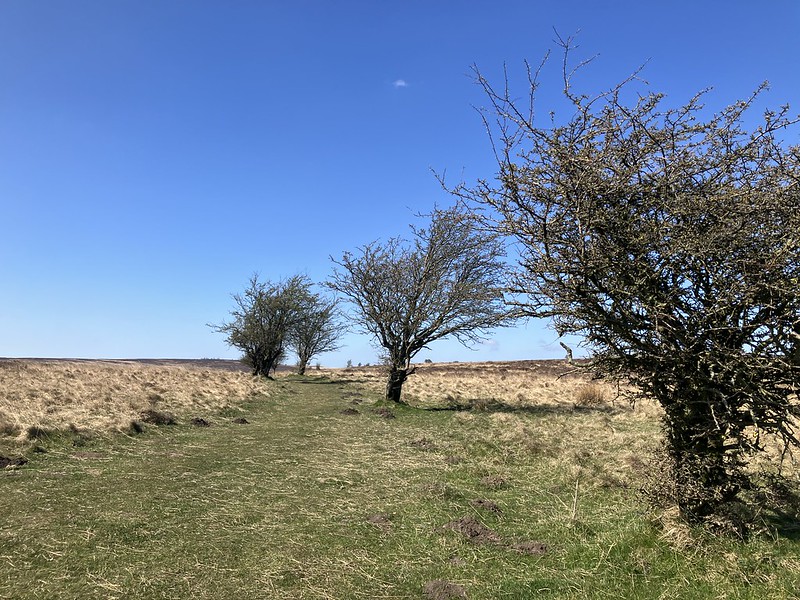
We noticed hawthorn bushes lining the moor paths, possibly remnants of old waymarkers or boundaries, offering continuity with ancient route-finding methods. Not far away stood guide stoops; gritstone pillars carved with arrows and place names, dating back to the 18th century when moorland travel was treacherous. These relics connected us with centuries of walkers, packhorses, and pilgrims.
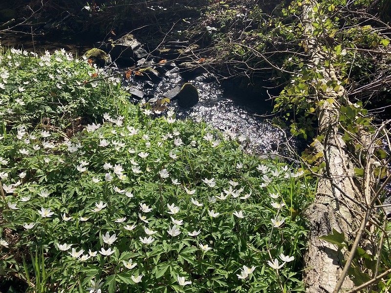
Just before descending from the moors, we passed a marker for the Derbyshire Boundary Walk. Another path to add to the ever-growing list. Then into Smeekley Wood, where bluebells were just beginning to bloom and wood anemones carpeted the boggy ground. Spring, at last, was making itself known.
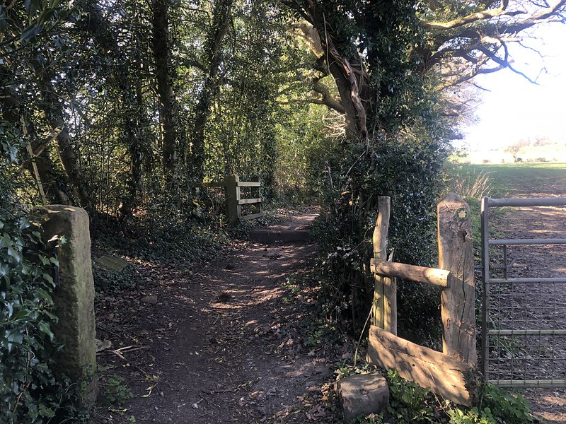
Our only brush with traffic came as we passed through Millthorpe, soon leaving the road to follow a footpath toward Cartledge. When asked why we were walking the “wrong” way, we trusted our route. Komoot had chosen well: weaving together off-road trails and secret paths that gifted us new views and fresh perspective.
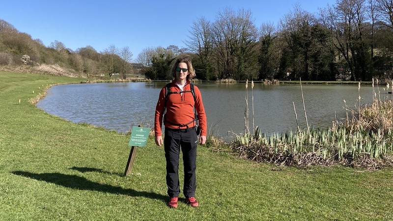
We ended the day by crossing Barlow Fishing Ponds and skirting the edge of the Round Chesterfield Walk before finishing in Holmesbrook Valley Country Park; tired, content, and a little sun-flushed.
This 40km April walk reminded us that while we may start with a plan, it’s often the route itself that chooses us. Shaping the day with surprises, history, and the joy of new ground underfoot. The Peaks are full of such magic if you let them guide you.